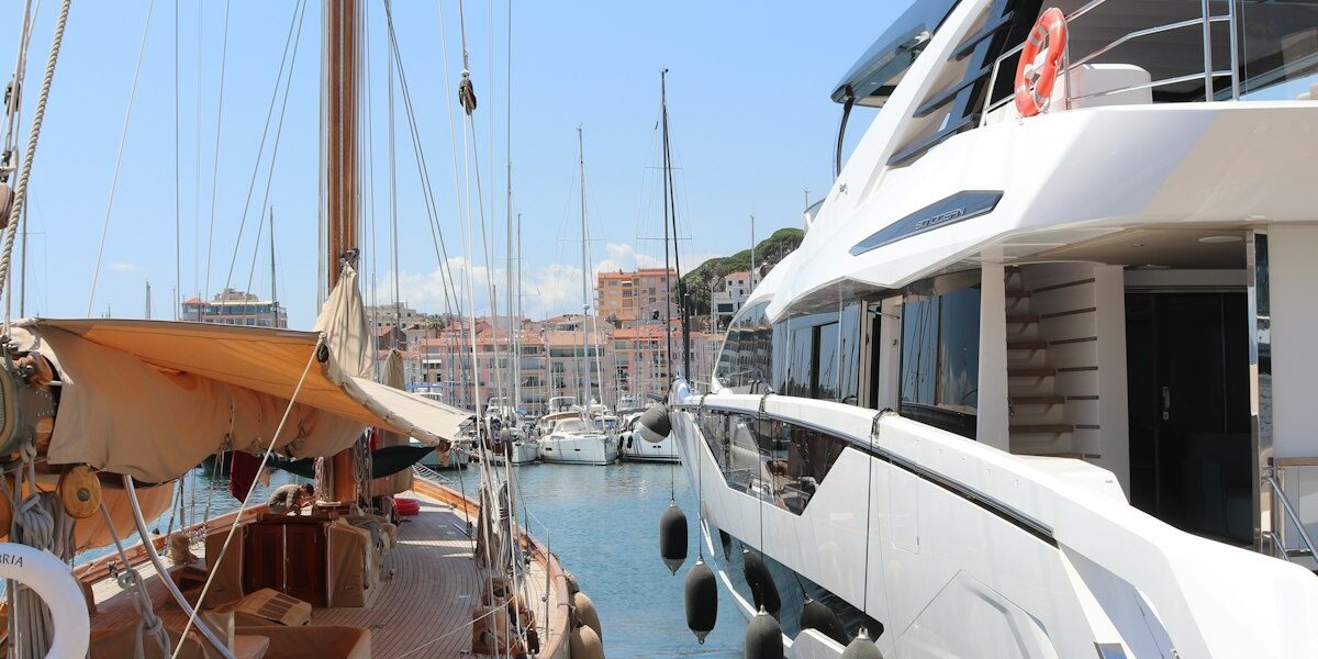
Marine navigation electronics have gotten complicated with all the options flying around. As someone who’s upgraded my helm more times than I care to count, I learned everything there is to know about what actually matters on the water. Today, I will share it all with you.
Quick Answer: At a minimum, you’ll want a chartplotter/GPS, depth sounder, VHF radio, and AIS. Radar’s a must if you’re heading offshore or running in fog. Expect to spend somewhere between $3,000 and $15,000 for a solid electronics package — though display size and features can push that number in either direction pretty fast.
Chartplotters and GPS
Understanding Modern Chartplotters
Chartplotters have come a ridiculously long way. Today’s units pair GPS positioning with detailed electronic charts on bright, sunlight-readable screens. We’re talking pinpoint accuracy within a few feet, overlaid on charts showing channels, hazards, and nav aids. It’s honestly kind of magical compared to what we had even ten years ago.
What I really love is how multifunction displays cram chartplotting, radar, sonar, engine data, and even entertainment onto a single screen. Way less clutter at the helm, and you get all your critical info without swiveling your head around like an owl. That’s what makes MFDs endearing to us boaters — they solve the real problem of information overload by putting everything right where you need it.
Display Size Selection
Here’s something I wish someone had told me earlier: don’t skimp on screen size. Your eyes will thank you after a long day of cruising. I’d say 9 inches is the bare minimum for your primary helm station. If you’ve got a bigger boat, shoot for 12 to 16 inches. Those compact 7-inch units? They’re great as secondary displays on the flybridge or in the cockpit, but they shouldn’t be your main screen.
Touchscreens are pretty much standard now, and they work fine most of the time. But if you’ve ever tried tapping a waypoint on a bouncing screen in a 3-foot chop, you’ll understand why I prefer units that also have physical buttons. Combo interfaces give you the best of both worlds.
Chart Compatibility
This one trips people up constantly. Garmin, Navionics, and C-MAP all make excellent charts, but they don’t play nice across different manufacturers’ hardware. So before you drop a few grand on a chartplotter, make sure the charts you need for your cruising area actually work on that platform. I learned this the hard way when I switched brands and had to re-buy all my charts.
And don’t forget about updates. Channels shift, buoys get moved, new hazards pop up. Most manufacturers offer subscription services that keep everything current automatically — it’s worth the annual fee for the peace of mind alone.
Depth Sounders and Fish Finders
Basic Depth Sounding
Probably should have led with this section, honestly. Every single boat needs depth information. Full stop. A basic transducer giving you reliable readings is perfectly adequate for most of us. Digital displays showing current depth and shallow-water alarms — that’s really all you need to keep from plowing into a sandbar at low tide. Ask me how I know.
Advanced Sonar Technology
Now, if you want to get fancier — and who doesn’t eventually? — CHIRP sonar is where things get interesting. Instead of sending out a single frequency, it transmits across a range. The result is way better target separation and bottom detail. You can actually tell individual fish from structure and figure out what the bottom’s made of.
Side-scan and down-scan imaging basically give you photo-quality views of what’s under the boat. Anglers love this stuff, obviously, but even if you never fish, it’s incredibly handy for spotting uncharted junk on the bottom or finding a clean patch of sand to anchor over.
VHF Marine Radio
Essential Communication
VHF radio isn’t glamorous, but it’s absolutely non-negotiable. It’s how you talk to other boats, the shore, and — when things go sideways — the Coast Guard. You want a fixed-mount unit pushing 25 watts for maximum range, which typically gets you 10 to 25 miles depending on your antenna height.
Make sure your radio has Digital Selective Calling. With DSC, one button press sends a distress signal with your GPS coordinates. But here’s the catch most people miss: you’ve got to register with the Coast Guard and program your MMSI number. Otherwise, that button does nothing when you really need it. Don’t be that person.
Handheld VHF
I always keep a handheld VHF aboard as backup, and I bring it in the dinghy too. Get a waterproof model that floats. Because if you’re the kind of person who’s never dropped something overboard, well, you haven’t been boating long enough.
Radar Systems
Safety in Reduced Visibility
You ever been caught in sudden fog a few miles from your inlet? That’ll make a radar believer out of anyone real quick. Modern broadband radar units are smaller and draw way less power than the old magnetron systems, but they still deliver excellent short-range resolution. It’s the kind of gear you hope you never desperately need — but when you do, nothing else can replace it.
Collision Avoidance
Radar shows you other boats, landmasses, and nav aids no matter what the weather or lighting is doing. The MARPA and ARPA target tracking features are genuinely impressive — they calculate collision courses and closest points of approach so you can make smart decisions before things get tight. I’ve avoided several sketchy situations thanks to those readouts.
Radar Selection
If you’re running a boat under 40 feet and staying within sight of land, a small dome unit will handle the job just fine. Once you start talking offshore passages or commercial work, though, you’ll want an open-array antenna for the better range and resolution. The price jump is significant, but so is the performance gap.
Automatic Identification System (AIS)
Understanding AIS
AIS broadcasts and receives digital data identifying vessels — their positions, courses, and speeds. All commercial ships carry it, so if you’ve got AIS on your boat, you can see every tanker, container ship, and tug around you and predict exactly where they’re heading. In busy shipping lanes, this is an absolute game-changer for your situational awareness.
AIS Classes
For recreational boats, Class B AIS transceivers are the way to go. They transmit your info to other vessels while pulling in traffic data from everyone around you. Receive-only units are cheaper, sure, but they won’t broadcast your presence — and honestly, when a 900-foot container ship is barreling your way, you want them to see you on their screen too.
When you integrate AIS with your chartplotter, those targets show up right on your navigation screen with vessel names, dimensions, and predicted tracks. It’s like having a bird’s-eye view of the entire waterway. Once you’ve used it in a crowded harbor, you won’t go back.
Autopilot Systems
Reducing Helm Fatigue
If you’ve ever hand-steered for six straight hours on a passage, you understand why autopilots exist. They’ll hold a heading or follow a GPS route while you stretch your legs, check the charts, or grab a sandwich. Hydraulic, mechanical, and electric drive systems are available depending on your boat’s steering setup and load requirements.
Integration Benefits
Where autopilots really shine is when they’re networked with your other gear. Hook one up to your chartplotter and it follows your planned route automatically. Some of the newer systems even tie into radar for collision avoidance steering. And the really fancy ones learn your boat’s handling characteristics over time for smoother course-keeping in different sea states. Pretty slick stuff.
Network Integration
NMEA Connectivity
All this gear needs to talk to each other, right? That’s where NMEA 0183 and NMEA 2000 networks come in. Once your electronics are networked, GPS positions, depth data, engine info, and tank levels can display on any connected screen. It takes some cable-running and configuration to set up, but the payoff in convenience is enormous.
Wireless Connectivity
Wi-Fi and Bluetooth have worked their way into marine electronics too. You can control a lot of your systems from a phone or tablet now — check the weather, plan routes, monitor engines. I’ll admit I was skeptical at first, but being able to glance at my phone in the salon and see what’s happening on deck? Actually pretty useful.
Budget Considerations
Let me give you the real numbers. An entry-level package with a basic chartplotter, depth sounder, and VHF radio runs about $1,500 to $2,500. Step up to mid-range with bigger displays and radar, and you’re looking at $5,000 to $10,000. Go premium with multiple screens, advanced radar, and full integration? That can blow past $25,000 without breaking a sweat.
My advice? Get the safety essentials dialed in first — a quality VHF radio and a solid chartplotter matter way more than fancy fish-finder bells and whistles. You can always add the fun stuff later when the budget allows. But you can’t add safety gear after you’ve already needed it.
Essential Marine Electronics
Garmin ECHOMAP UHD2
Popular chartplotter with CHIRP sonar.
Standard Horizon GX1850 VHF
Quality fixed-mount VHF with GPS and DSC.
As an Amazon Associate, we earn from qualifying purchases.


Stay in the loop
Get the latest power and motor yacht central updates delivered to your inbox.